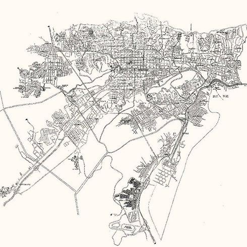
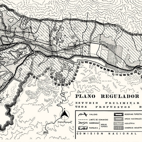
Caracas and its environs, 1954, Ministerio de Obras Públicas (MOP).HC-53
The hill system’s aggressive urban planning
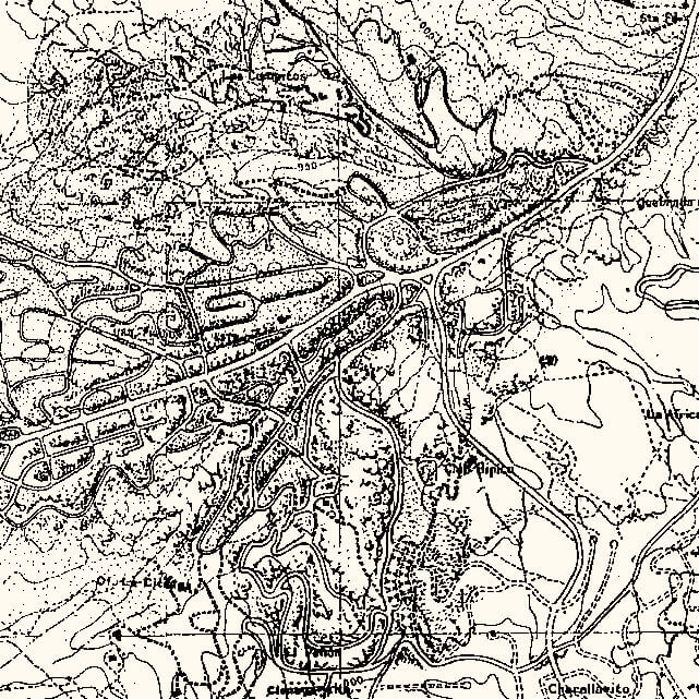
In the 1954, «Plan of Caracas and its surroundings», drawn by Walter Troiani and Gustavo Pastorelli, the vision of the valleys is broadened. It extends from Petare, in the east, to the slum of Propatria, to the west; from the south it goes as far as Prados del Este, and to the north it ranges up to the natural limit of the Ávila and the coastal mountain chain. If we compare it with the blueprint from 1936, made by Röhl, we may see that the difference between the valley and the mountain and hill system is no longer represented in such an obvious way, it is not as visible in the graphics. In this plan, the framing of the city is modified, displacing the attention to the right, pre-figuring the occupation of all the system of hills to the southeast of the great valley. If in the 1936 plan the city has ceased its development following the historical recipe of the chessboard or grid to start adapting to the geography with more uniform and symmetric housing developments, in this plan from 1954, geography ceases to be a guide and a reference, and turns into the mere context of an aggressive urbanization process that advances wielding important topographic modifications and without the intention of creating understandable urban forms. Its all about a road network that expands whilst obtaining the maximum benefit from the topography.
The symbol of this new possibility will be the Humboldt Hotel, a lonely tower located on the summit of the Ávila, announcing the presence of the city even in the most unreachable places.
Almost every urbanism in the southeast shown in this plan is undergoing a stage of development; others are simply drafted. However, they occupy a territory comparable to that occupied by Caracas in 1920.
This expansion starting from Las Mercedes and ending farther than Baruta, constitutes the future Chuao, Prados del Este, Cafetal, Charallavito, Club Hípico, and La Trinidad. A new road network that just expands without following any formal criterion by taking advantage of the possibilities that the tractor and the geological studies have to offer.

HC-52


