EA-13
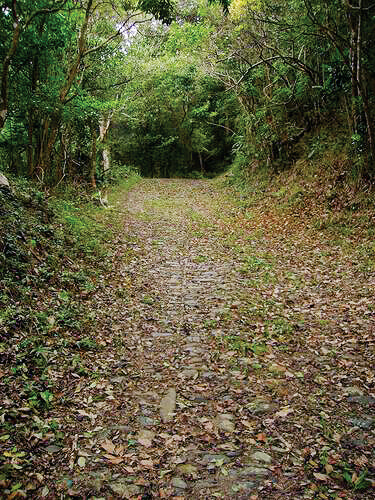
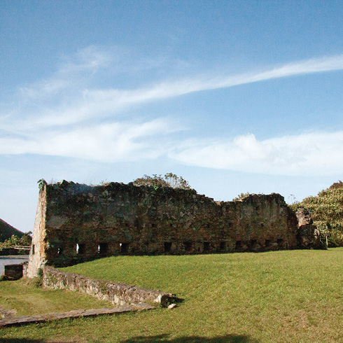
In 1589, Don Diego de Osorio, founder of the port of La Guaira, orders the construction of the «Way of the Span-iards», a path through the Ávila from La Guaira, ascending to 1800 masl, and descending to the city of Caracas, 30 kilometers inland, on the foothills of the Ávila, at 880 masl The route chosen for the Royal Road, finished in 1603, followed the native trail called La Culebrilla. The route begins in El Rincón (Maiquetía), goes through Las Lla-nadas, and descends into Caracas through the mountains west of the city, in Puerta de Caracas (La Pastora) at 1043 masl Built with stone slabs, the road retains some of its original cobblestones, with patterns of squares separated by transverse rows of stone used on the steep slopes and curves, the remainder being of tamped stone. The route passed by forts, inns and haciendas, beginning with El Salto fort (circa 1650), passing by Castillo Negro (1770), El Medio fort (1770), La Cuchilla fort (1770), Castillo Blanco (1770), the no longer existing La Venta Inn (reviewed by Humboldt), the Guayabal hacienda and lastly, the Corozal coffee hacienda (eighteenth century). For over three centuries this was the only passable road between the valley of Caracas and the sea, for the transport of goods, food and people, being a strategic route for the conquest and colonization of Venezuela.

EA-11


