Zone 3 From El Paraiso
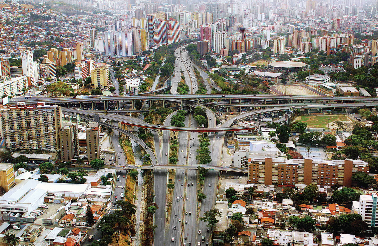

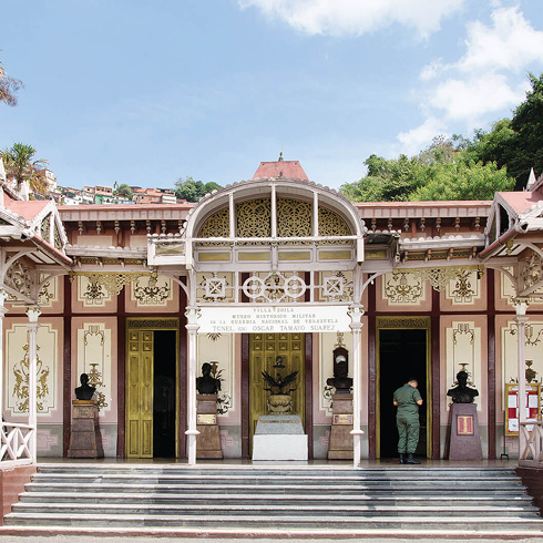
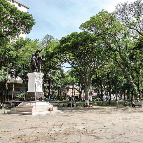
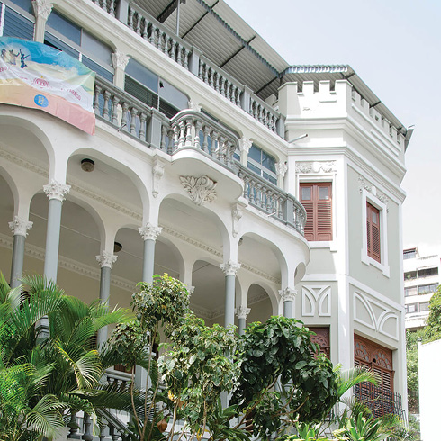
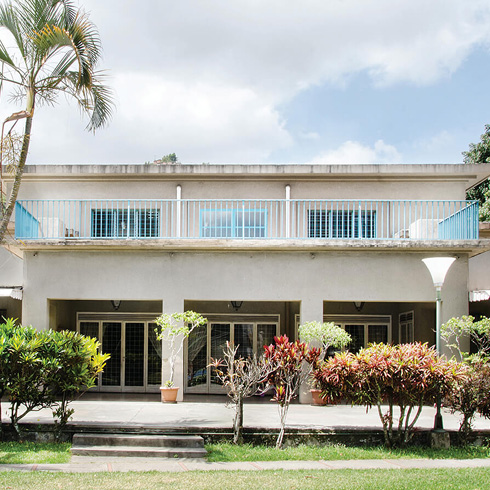
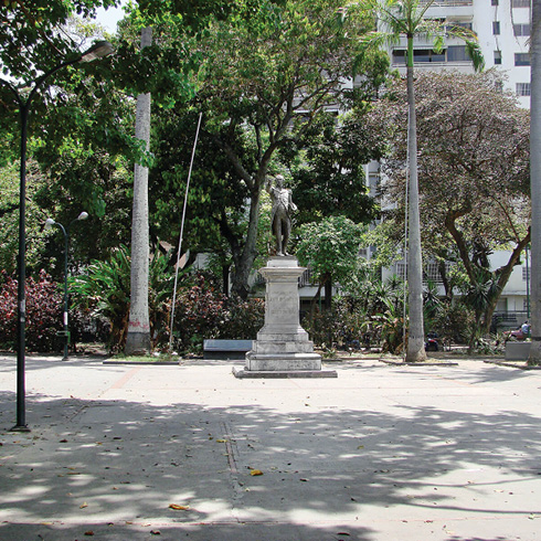
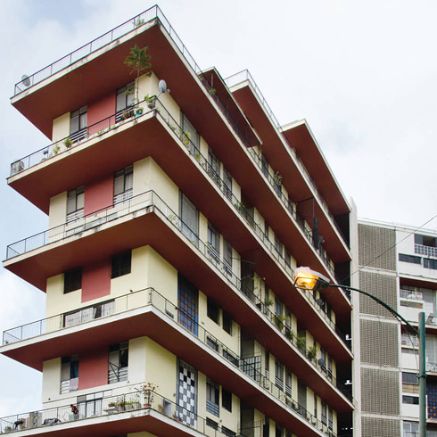
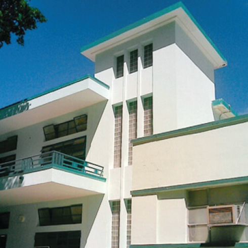
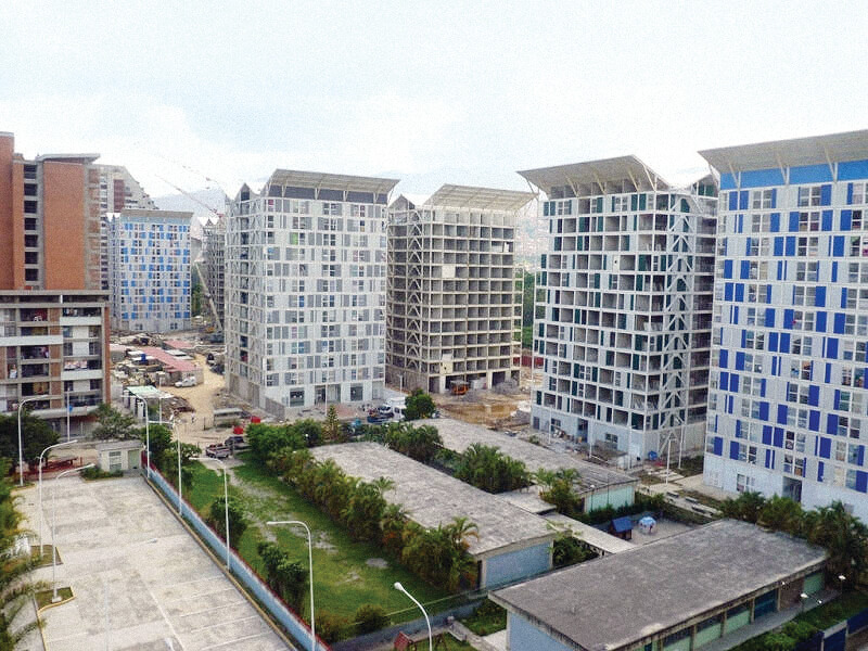
Starting from El Paraíso, a small valley opens up toward the southwest, connected to the main valley of Caracas and ending in two ways: a modern one towards Caricuao and an old one, to Macarao. A dyad appears, with the Francisco Fajardo freeway and the Guaire river, becoming a triad when the subway joins up after Antímano, along the central axis. South of the Guaire river are located in sequence: El Paraíso, La Montaña, La Araña highway interchange, El Pinar, Las Fuentes, the Estadio Nacional, La Paz, Montalbán, Juan Pablo II and Andrés Bello Catholic University. El Paraíso (old Eches Zurría hacienda), built by the Caracas Tramway Company (1891), wasthe First suburb implanted outside the founding grid, inhabited by Caracas elites and occupied as from the construction of the San José de Tarbes School. Its grid-like layout has two straight main streets with large trees, blocks occupied by houses or villas with four free façades, surrounded by gardens, responding to the foreign model of «garden city»; Villa Zoila (former presidential residence) and Las Acacias houses stand out. The Páez and Madariaga squares, Páez avenue, National Racetrack (now United Nations Park) and the Carabobo monument (La India of El Paraíso roundabout), in addition to the National Stadium (Brigido Iriarte) and Caracas High School (Libertador Pedagogical Experimental University, UPEL) give it the character that dates from the 30s. From the 40s, there is El Pinar Zoo, the start of much current land parceling and Washington square. The contrasting current urban profile is a result of an ordinance of modern character that was applied from the 50s and led to disproportionately high towers.
The presence of green tunnels on Avenida Páez, as well as the variety of squares and parks, balance out the diversity of uses in this sector that range from shopping centers, universities (Santa María), university institutes (Pedagógico de Caracas), religious schools (San José de Tarbes, La Concepción and Teresiano), clubs (Hogar Canario Venezolano, Club Venezolano Alemán and Centro Vasco), service stations, radio stations (Radio Caracas Radio) and clinics. In a second development stage, lots with smaller homes emerge: El Pinar, La Paz, Washington, besides the National Stadium.
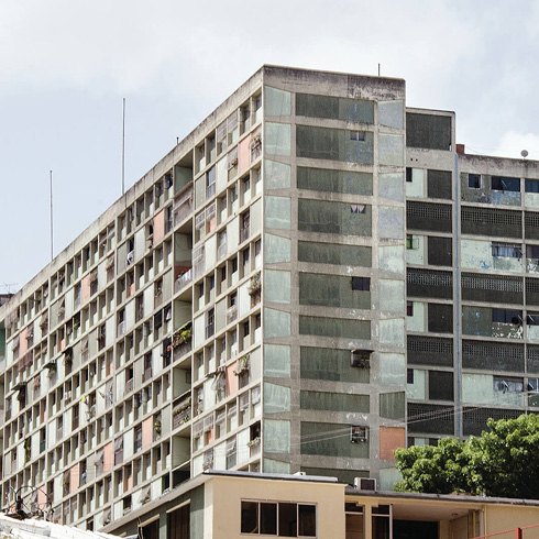
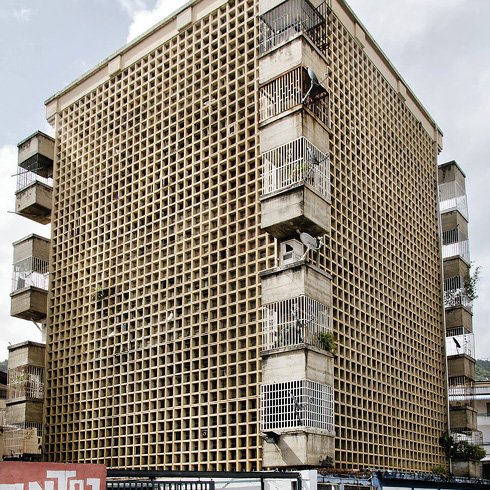
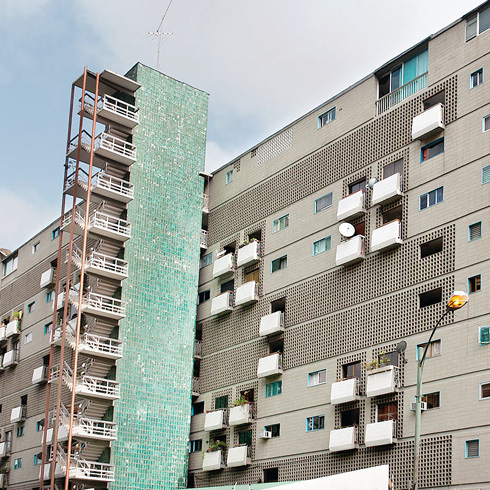
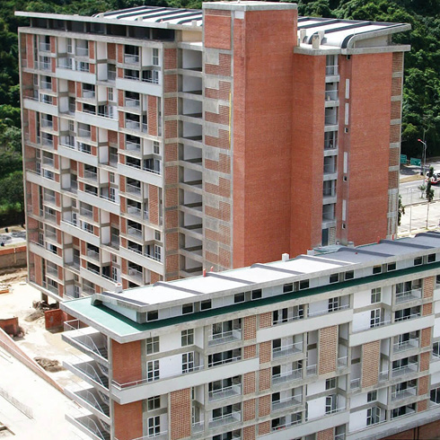
Beginning at Avenida O’Higgins, Los Leones bridge and La India of El Paraíso, there are hacienda houses, like La Vega, Montalbán and María Antonia Bolívar’s old hacienda on the outskirts of Macarao, as well as elegant villas from the early twentieth century. The architectural laboratory of quality multifamily housing also stands out, as in Residencias El Paraíso (Villanueva and Bermúmez), or Quintas Aéreas, with the best version of the Grand Venezuela Housing Mission (GMVV) in Juan Pablo II (Gustavo Legórburu) or its more massive and not so good version facing Los Leones bridge and Plaza O’Higgins.
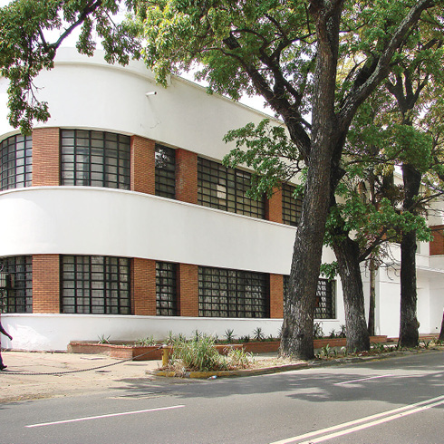
On the north bank of the Guaire river, facing El Paraíso, is the old El Guarataro informal area, of significant historical tradition; it is followed by Artigas and Arvelo; Avenida San Martín, coming from El Silencio up to Vista Alegre; Bella Vista; La Yaguara industrial area and Carapita, across from Andrés Bello Catholic University, which together with the Antímano city center, narrow the valley until only the river-freeway-subway triad remains towards the two final destinations. Bella Vista exhibits the first Banco Obrero housing with curved volumes. Vista Alegre is a neighborhood of Canary immigrants displaying a richness of modernist designs that not only identify a period, but also its prosperity through time, recognizable in the different layers of architectural styles of its façades.
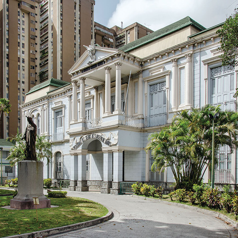
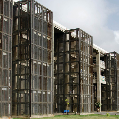
The campus of the Andrés Bello Catholic University is an oasis at a midpoint of this valley. Its sober modern architecture design, in brick with hexagonal concrete brise-soleils, has been completed with several recent buildings, with services that are outstanding for their architectural quality: Cincuentenario Building and Padre Carlos Guillermo square Cultural Center (Pimentel and Capiello Office), where by the interior garden has been delimited and considerably improved, approaching it to the image of an international university campus.
It is worthwhile to differentiate three old town centers:
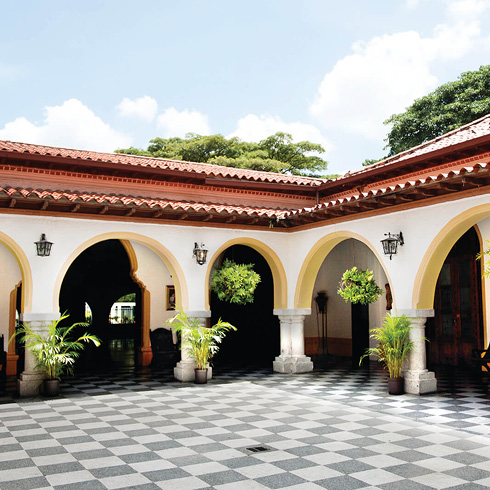
- La Vega. It is immersed in an informal setting with a church –with hyperbolic paraboloid roofs– and an urban scene recreated with a pseudo-colonial image (1974, Diego Arria, Plan Caracas para todos), which attests to the investments in public space that marked a period. Other interventions resulting from the «Physical Improvement of Barrios Plans» (Josefina Baldó and Federico Villanueva, 1999), show the first step in providing amenities such as vertical gyms in San Miguel, embankments with boulevards in Los Paraparos and houses for the community in El Carmen, La Vega.
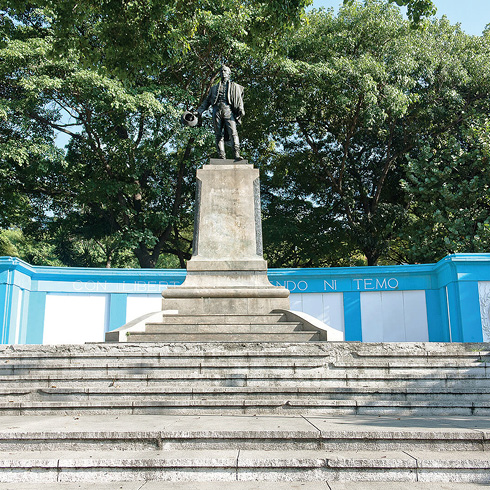
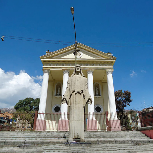
- Antímano. It opens a pedestrian promenade between the Bolívar square and its church, with a large Christ in front, once described as a little Versailles.
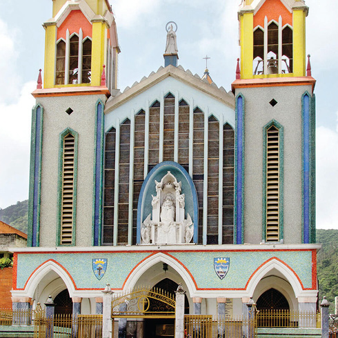
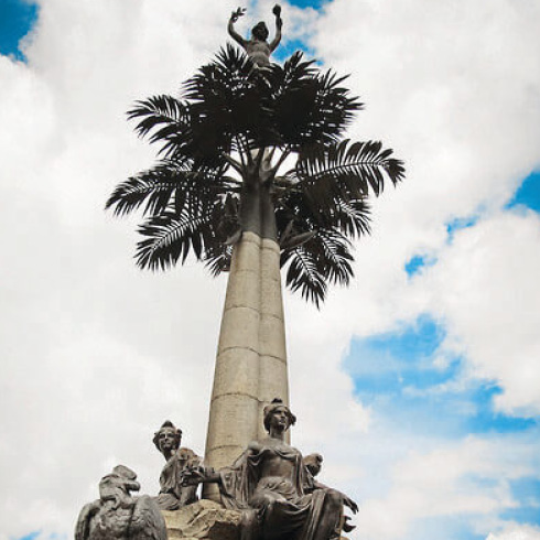
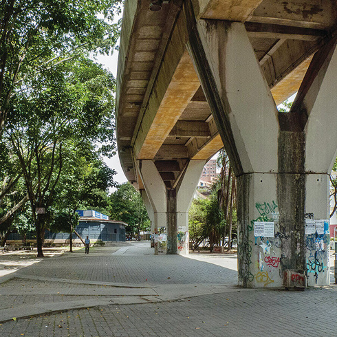
- Macarao. On a hill, with a newly remodeled Bolívar square, with a plant wall and updated urban furniture, is the most valuable colonial church (according to Graziano Gasparini), where some traces remain of the former colonial town with the Hacienda de María Antonia (Bolívar’s sister) on its outskirts. The final branch of this route is Caricuao, a massive development of different format housing, which is a modern bubble, favored by the presence of an elevated metro line with a lineal public space underneath, besides the presence of several parks: Caricuao Zoo, New Generations Park and the national parks Ruiz Pineda and Parque Universal de la Paz.
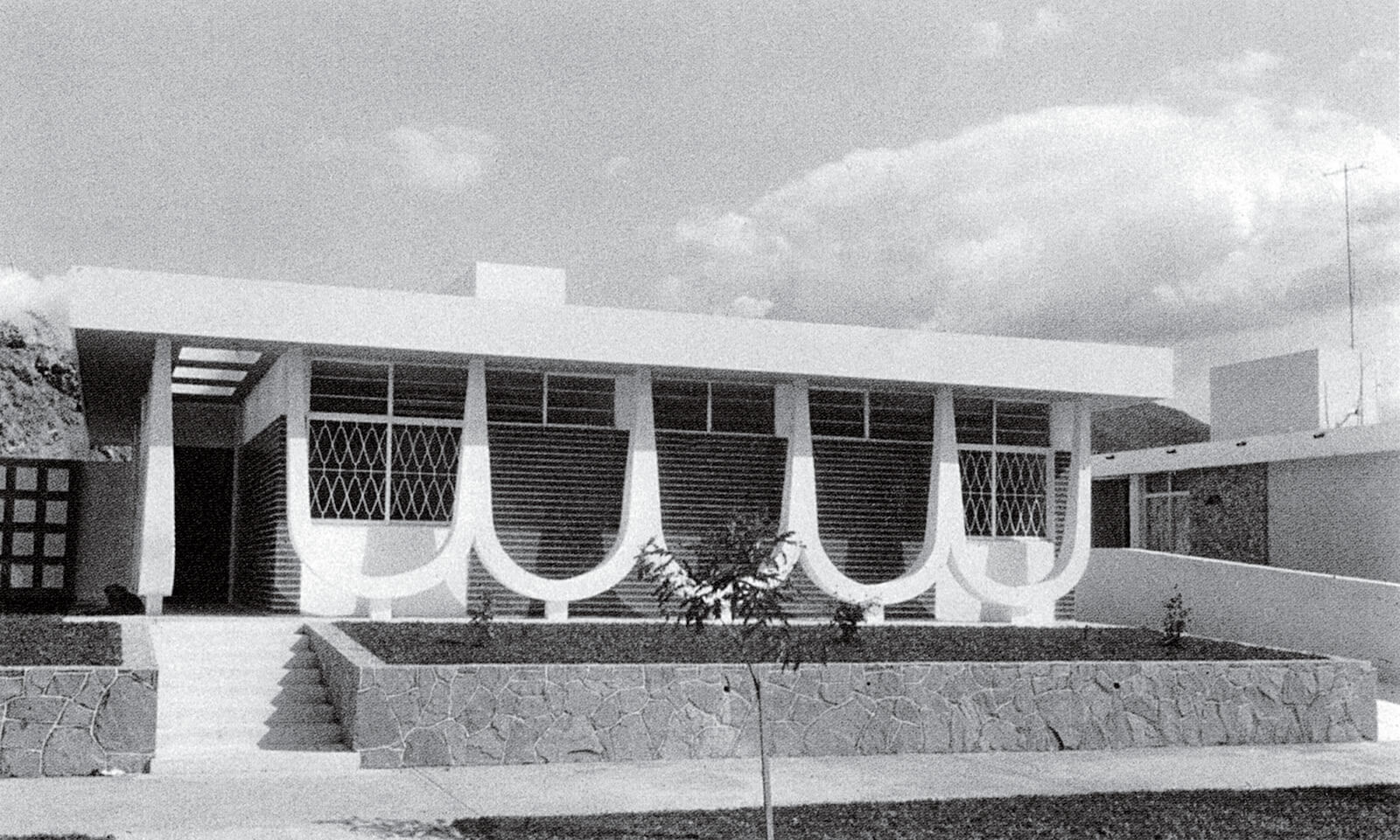
Quintas modernas en Vista Alegre, circa 1960. EP-09
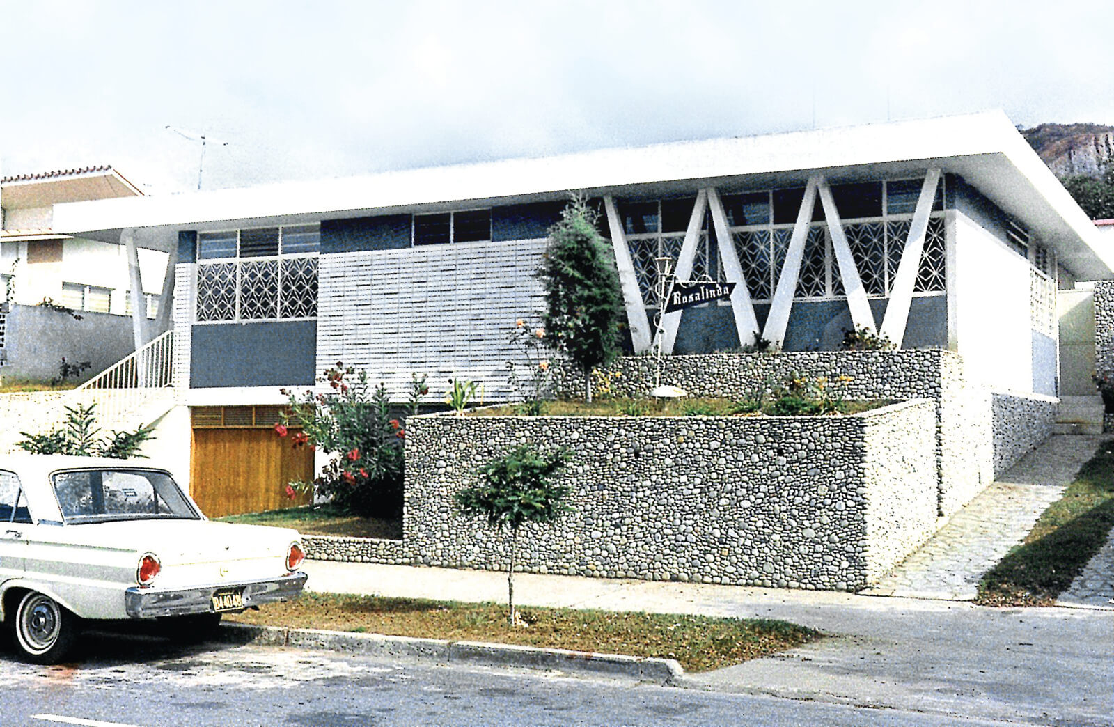
Quintas modernas en Vista Alegre, circa 1960. EP-08
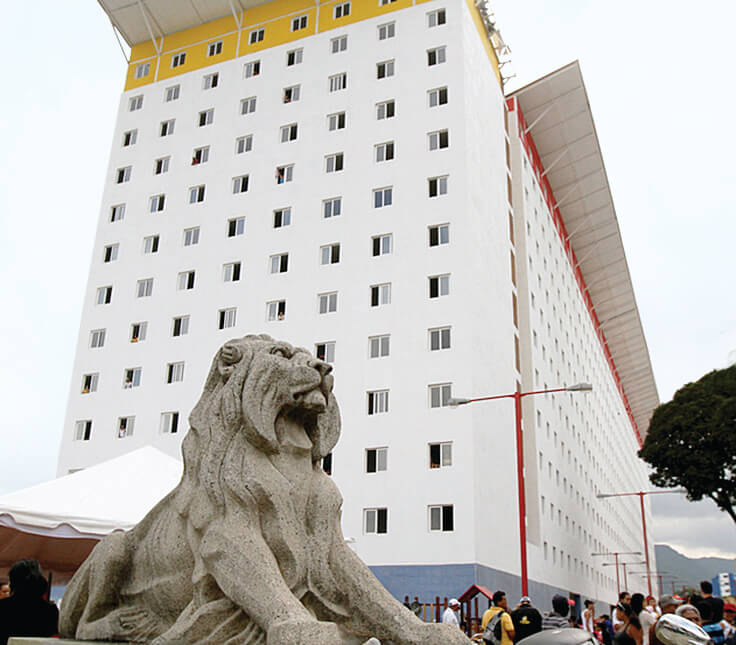
Puente Los Leones y reciente edificio de vivienda social (GMVV). RU
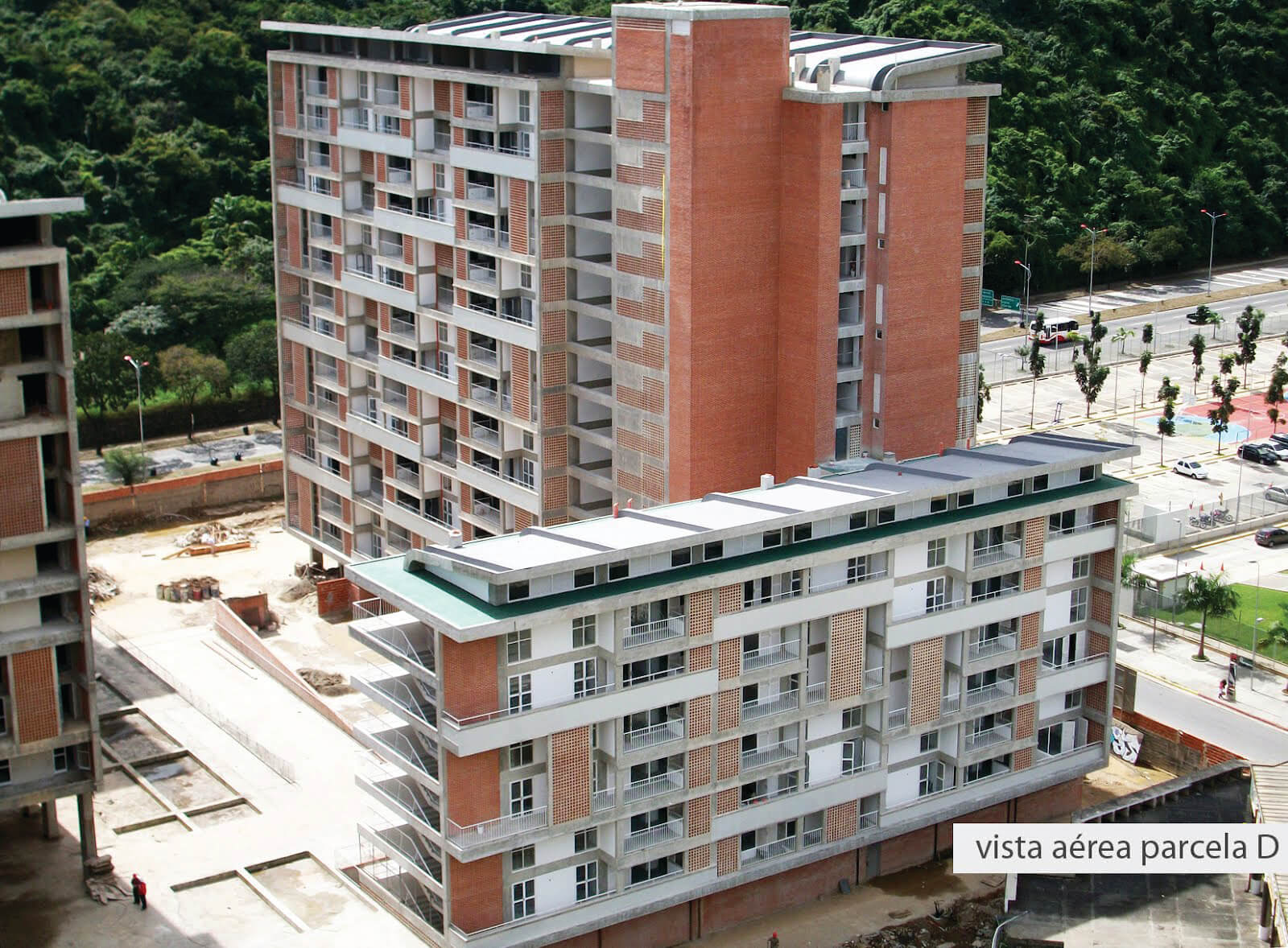
Desarrollos habitacionales Gran Misión Vivienda Venezuela, 2012. EP-05
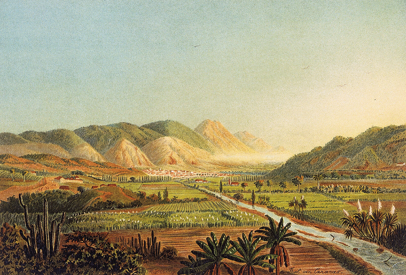
Vista desde las vegas del río Guaire. Acuarela de Anton Goering, 1892. EP-02
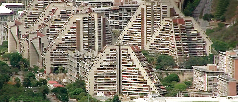
Conjunto residencial Juan Pablo II, Urbanización Juan Pablo II, Montabán, cerca de1980. EP-07
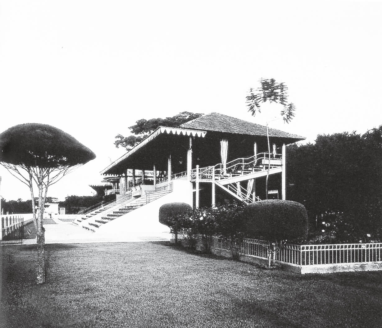
Hipódromo Nacional, El Paraíso circa 1920 (actual Parque Naciones Unidas). Fotografo desconocido. EP-03
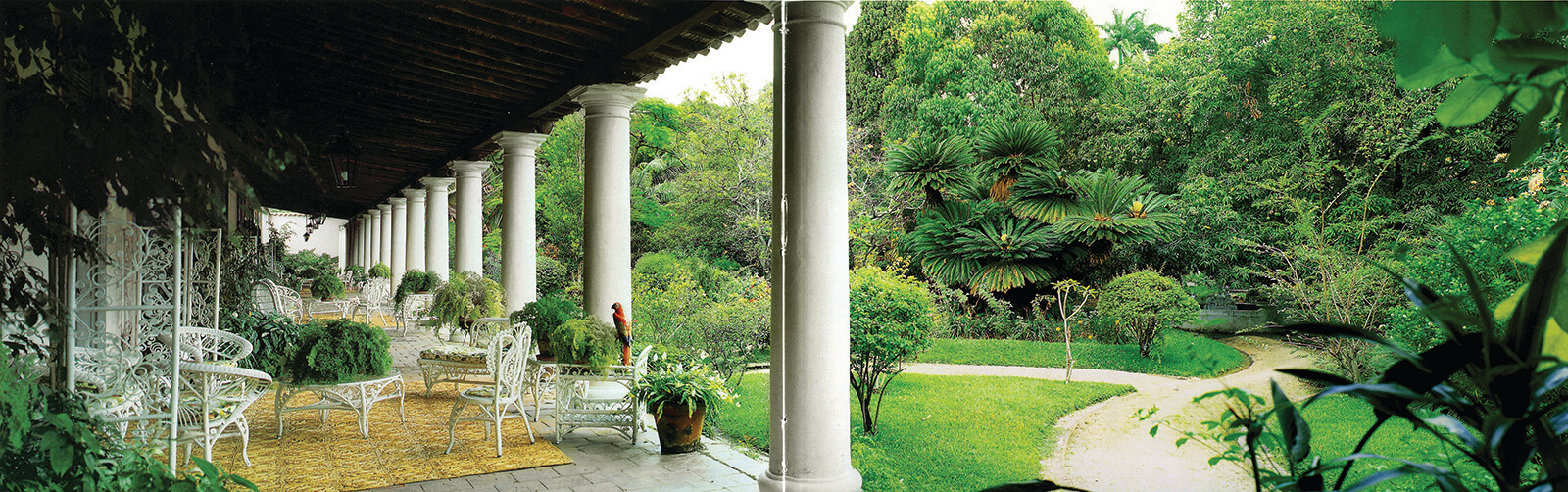
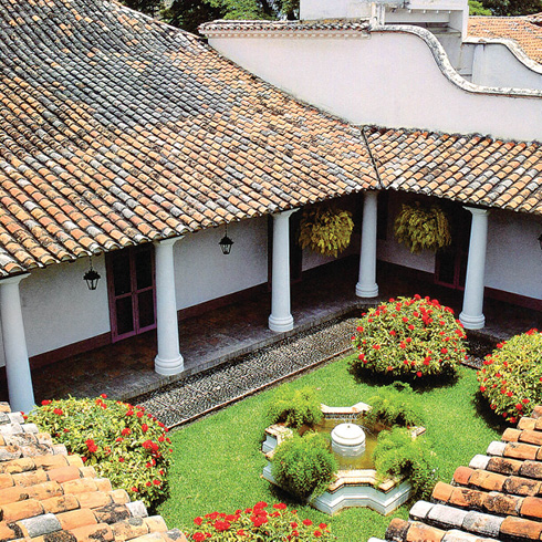
Corredor y jardín de la Hacienda La Vega. EP-04
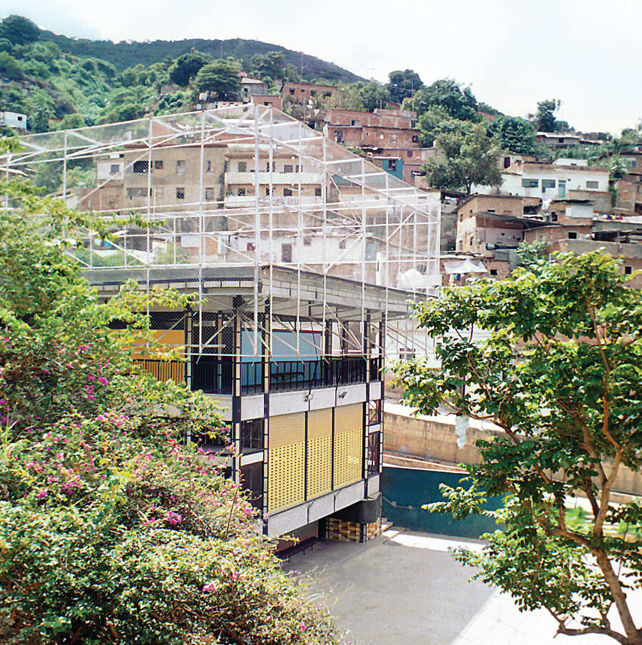
Gimnasio Vertical, 2009.(hoy abandonado). Barrio San Miguel. Arquitectos Matías y Mateo Pintó. MP-1
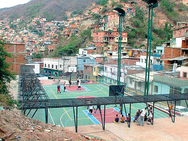
Nuevos equipamientos deportivos sobre una quebrada, Barrio Los Paraparos. MIP
Parque Residencial Juan Pablo Segundo, arquitecto Gustavo Legórburu. Montalbán, 2007. EP-06
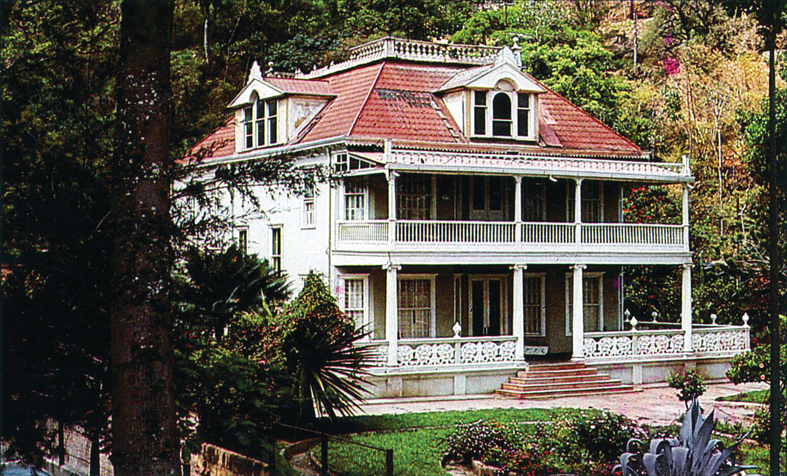
Villas en El Paraíso, circa 1930. RU
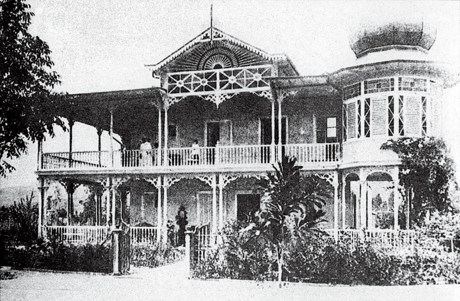
Villas en El Paraíso, circa 1930. FFU
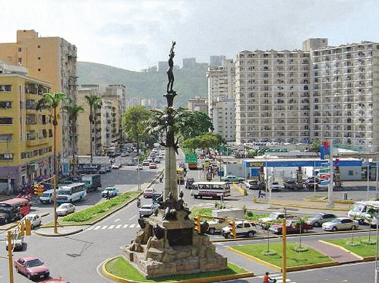
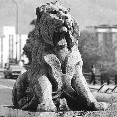
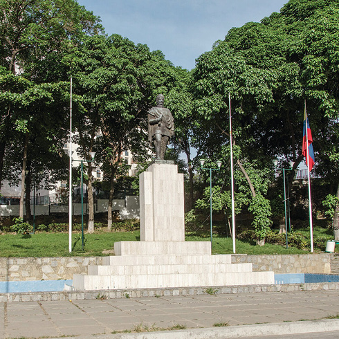
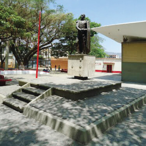
Monumento a Carabobo, Redoma La India, El Paraíso. EP-01
Collage urbano, «quintas», edificios multifamiliares, vivienda social y barrios. RU