Zone 2 Nueva Caracas

"Catia used to have a lagoon…"
Irma de Sola Ricardo
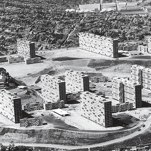
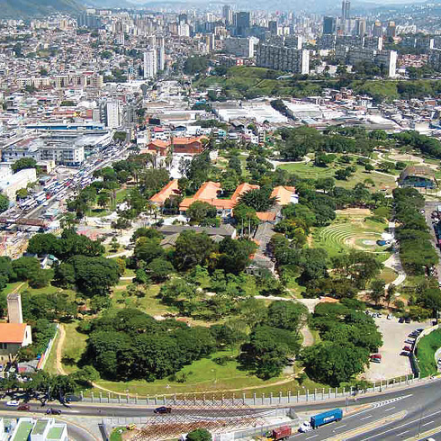
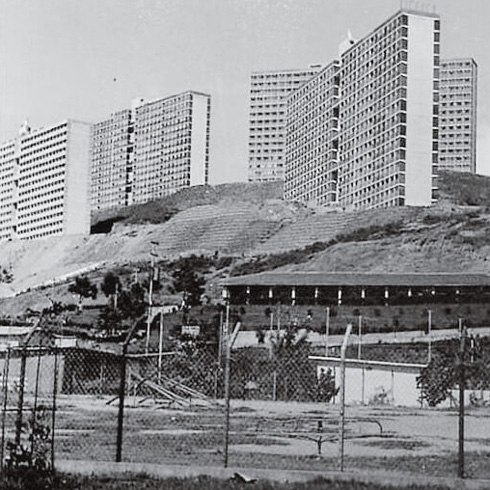
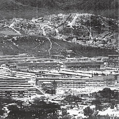
It is said, as it has not been recorded in any historical document, that the name Catia corresponds to an Indian chief who lived in the Maracapana flatlands and who opposed the Spanish conquerors. New Caracas or Catia, with Sucre avenue as its only road access, Los Magallanes to the north, the Caracas-La Guaira freeway to the east, Ciudad Tablitas to the west and Morán sector to the south, occupies the flat area of a small valley and is surrounded by hills that make up the 23 de Enero parish, where thirty-eight high-rise slab-like buildings emerge, alternating with lower ones, completing fifty buildings, with thegaps between them populated by self-built barrios (approximately 600).
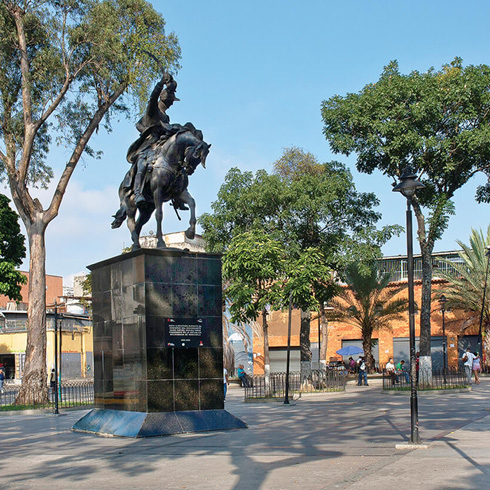
The first connection to Catia starts in the northwest corner of Santa Capilla, up to Agua Salud creek, where the graphic records of the first workers’ settlement in western Caracas was made. Also the railway link to La Guaira from downtown was through the «Catia landfill» (Eduardo Röhl, 1934-1936). However, Catia appears on maps since 1911. In 1929, the New Caracas Syndicate promoted the construction of part of the city in a grid pattern, on a flat land after going through a bottleneck between hills, from the founding center in a northwest direction. Some 58 slab buildings (rectangular and square) were developed, twelve named after Latin American countries, and seven avenues that converge into a circular square. Nueva Caracas was just the beginning of dense and varied enclaves in western Caracas. The development included a social and sports club located across from the square where the roads converge diagonally. It consisted of townhouses not set back from the street for housing and shops, and an industrial area in larger southern lots. Catia has been the seat of various waves of immigrants over time (Spanish, Portuguese, Arab and currently, Latin Americans). Mixed-use buildings predominate, expressing their multicultural diversity, with noticeable pedestrian vibrancy in the area above España avenue, between Sucre square —inaugurated by Juan Vicente Gómez in 1828— and Pérez Bonalde square, metro stations. The Catia Market building, a national historic monument stands out in the boulevards urban profile. On weekends, activity increases in parallel streets, which are filled with many neighbors from the high-rise slab-like buildings of 23 de Enero, Lomas de Urdaneta and Altavista, and the lower areas of Los Magallanes and Catia. The low slab buildings of Propatria and Casalta alternate with the texture of the barrios, which filled all the possible gaps in the hilly topography since the 60s. During those years, a jail was located on the lands of a former football field and Miguel Antonio Caro School was built on Sucre avenue.
The implantation of the 23 de Enero slab buildings gave Nueva Caracas a new scale and converted it into another laboratory for modernity, this time as a «workers’ city», a direct reflection of rationalist theories of the 50s, which tested social concepts and aesthetic manifestos conjugated with the technology of the moment, and that over time have shown to be full of contradictions yet to be overcome. Recently, efforts have been made to recover unoccupied public space. In hazy weather, you can smell the sea in Catia, coming up from Catia La Mar (the sea), and on the hills where the slab buildings are located, it gets cooler and there is mist at night and early dawn in certain months, due to its location on the pass over Vargas coast, a direct visual on clear days. In 1997, after Pope John Paul II’s visit to Caracas, Catia Prison foundations were dynamited, giving way to the Jacobo Borges Park cultural project, where today the community demands the planned metropolitan park to be developed.
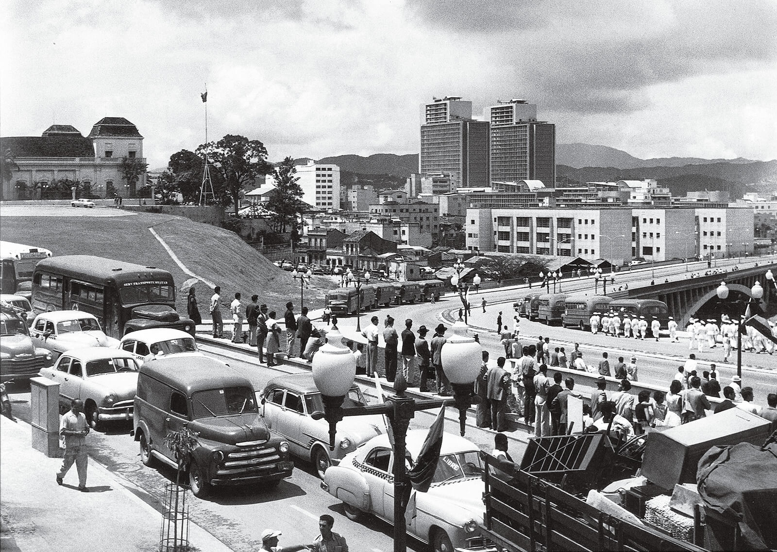
Día inaugural de la Avenida Sucre y su viaducto, 1953. NC-04
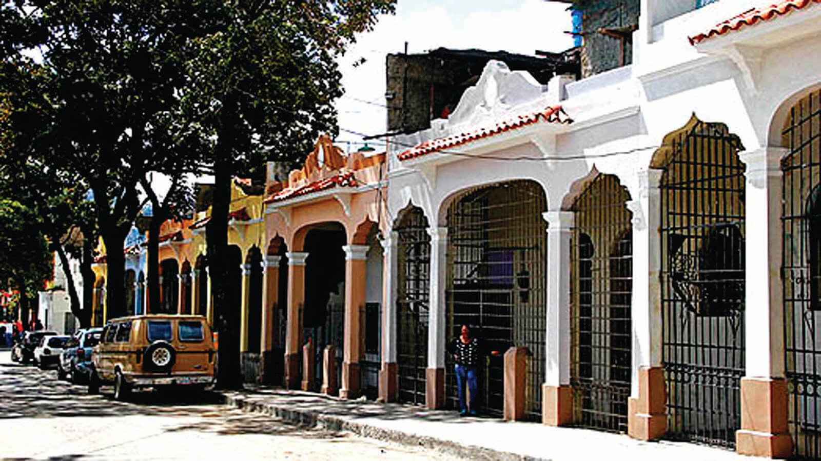
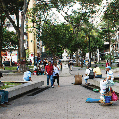
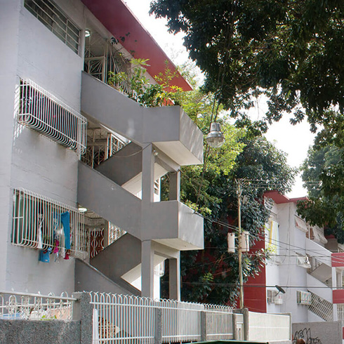
Calle Maury de Catia. NC-06
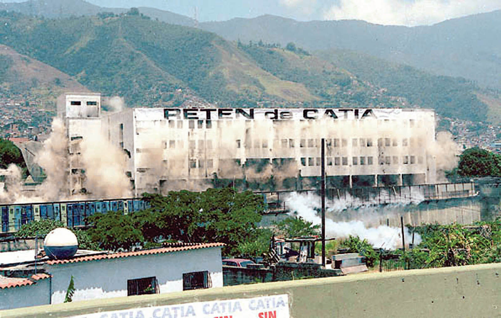
Implosión del retén de Catia, 1997. NC-08
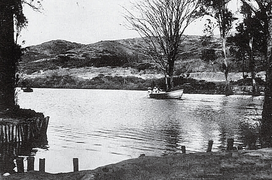
Laguna de Catia, cerca de 1930. NC-01
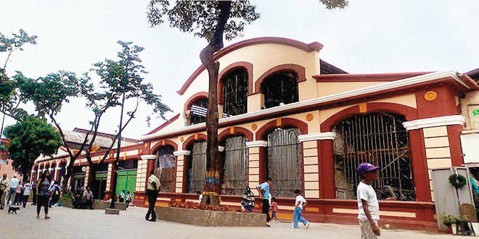
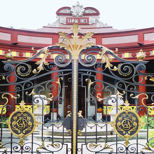
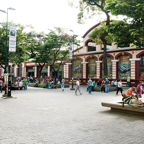
Mercado de Catia. NC-07
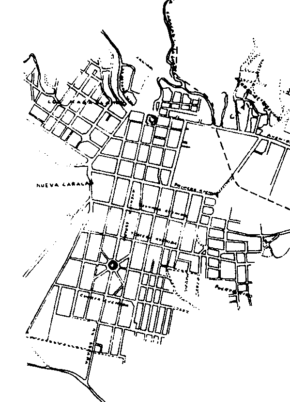
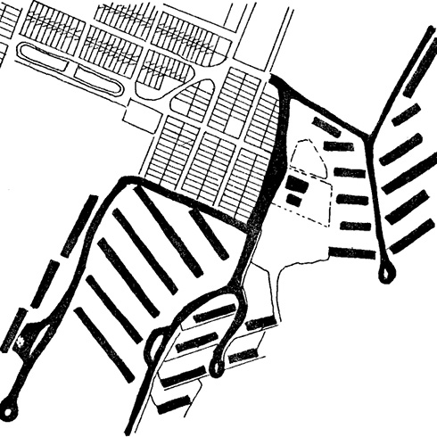
La trama reticular de la nueva Caracas. Plano de Caracas y sus alrededores, 1941. NC-02
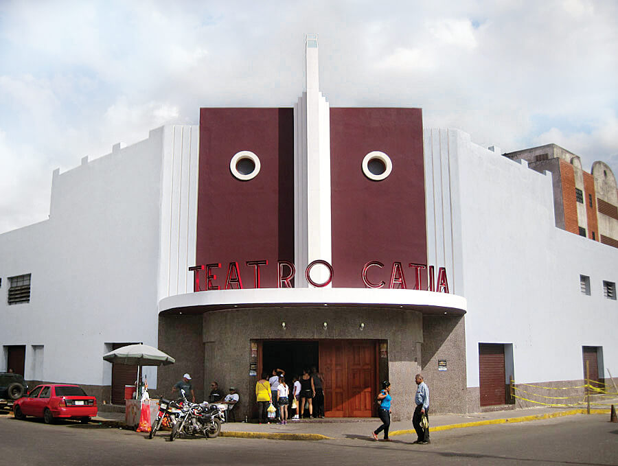
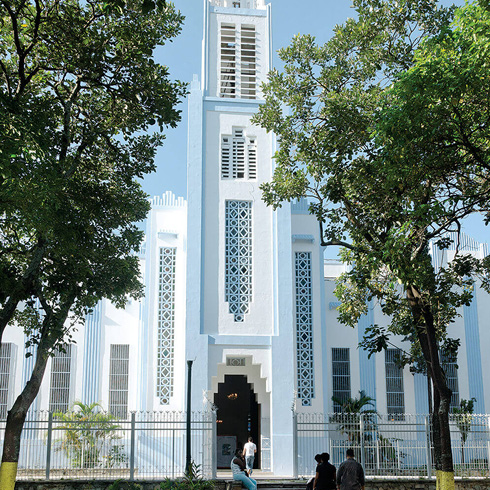
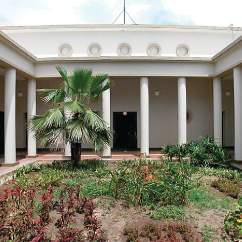
Teatro de Catia. NC-05
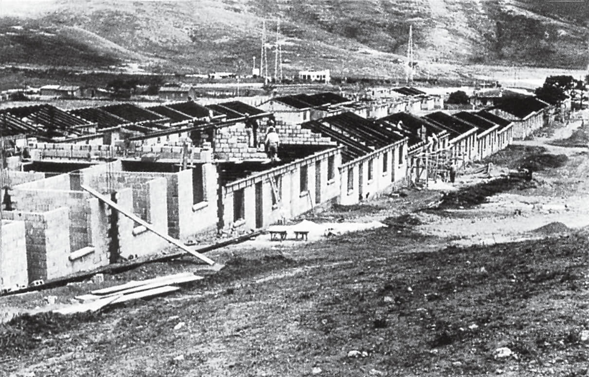
Construcción de viviendas obreras en Propatria, diseñadas por Gustavo Guinand, 1929. NC-03