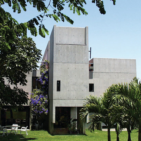
Zone 8 Southeast of the river Guaire
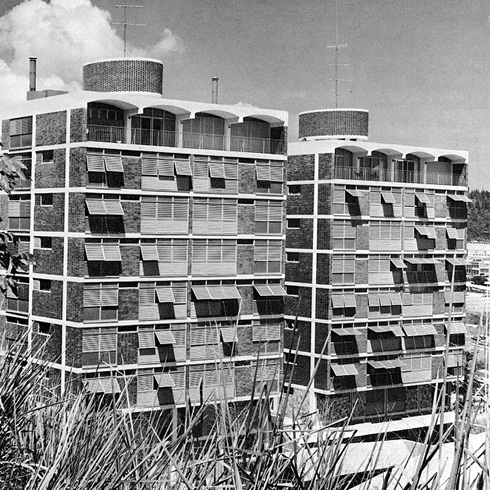
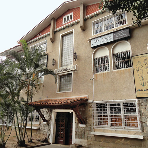
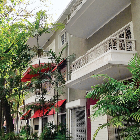
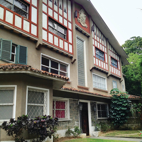
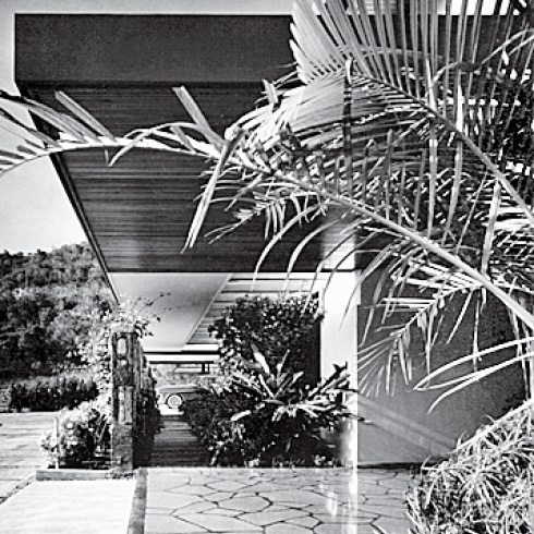
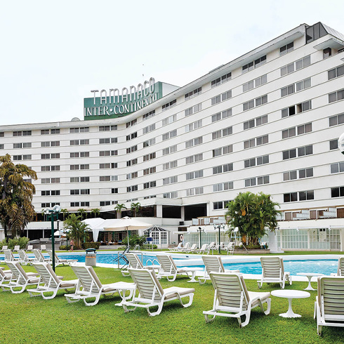
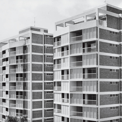
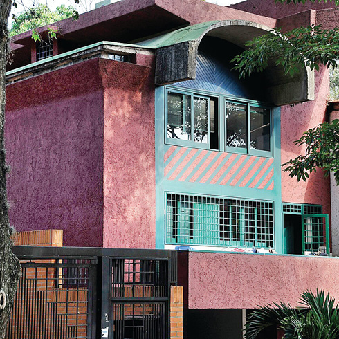
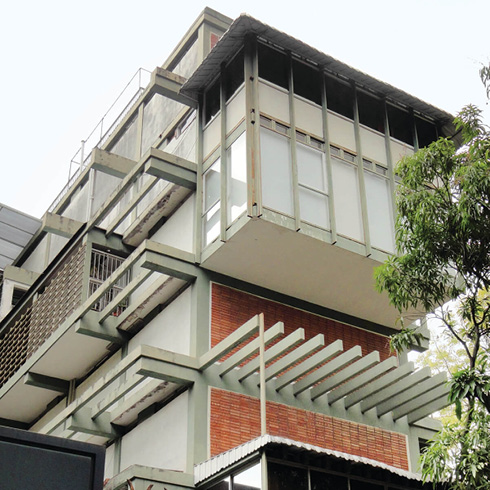
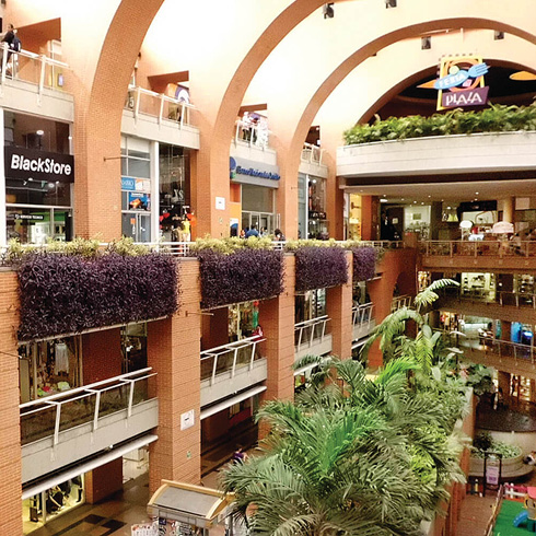
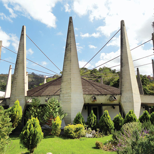
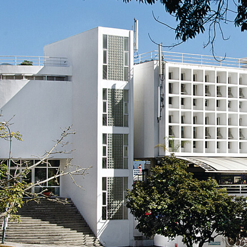
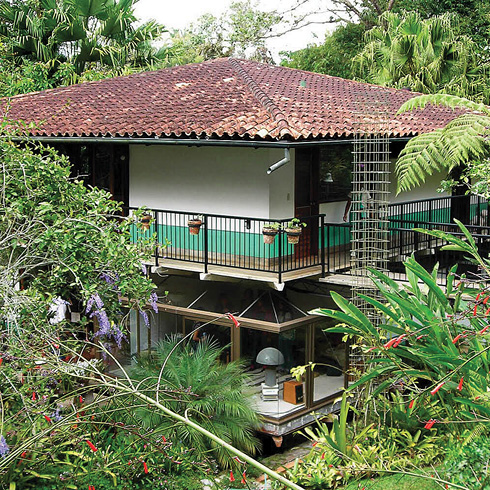
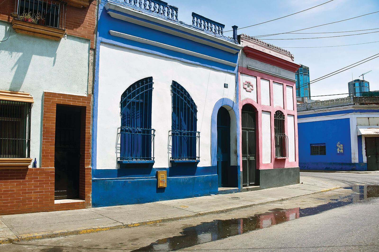
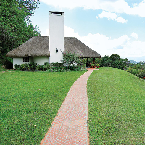
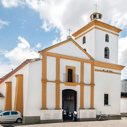
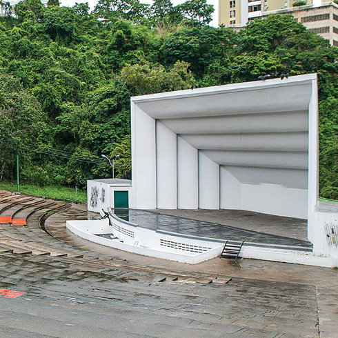
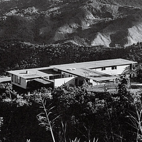
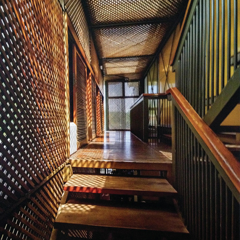
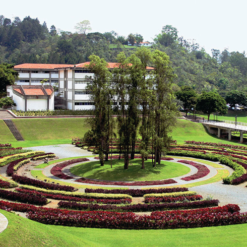
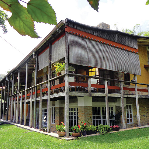
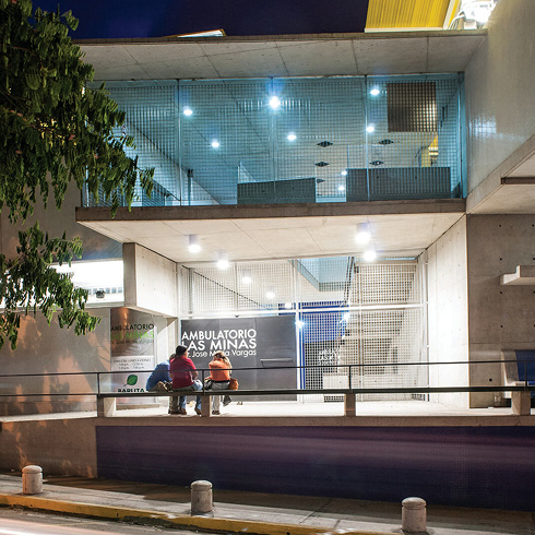
As opposed to the northern shore of the river Guaire, its southern shore has a minor scale and low speed avenue —the Río de Janeiro Avenue— moving like a snake covered by trees, at the side of low ceiling houses that varied their use through time becoming business and trade offices with superposed façades, with no concern as to any harmony between them. The South was developed during the forties by the Mexican born Gustavo San Román, including from Las Mercedes and El Rosal, zones with single family houses built with Basque style, up to the Tamanaco hotel, the golf club, and the first shopping mall in Caracas (Las Mercedes Mall). They were followed by El Cafetal and other suburban developments with tree-covered isles, bearing names of saints (Santa Marta, Santa Sofía, San Luis, Santa Paula, Santa Ana and Santa Clara were the firsts), from the sixties on, until the developing company’s bankruptcy. That bankruptcy leads to the acquisition by the Government of large group of lots such as those of El Cafetal. Through the government owned bank (Banco Obrero) excellent projects were developed, although not many, with middle-class housing models. The main avenue became a boulevard in 1975, designed by José Miguel Galia, flanked by condominium buildings. As to Chuao, it has many single family housing projects designed by novel architects, for new professionals’ families. Besides the development of these flat lands suburban sections on the river sides, there was building at the close by hill such as Bello Monte, Chula Vista, San Román, Los Naranjos –an ancient orange orchard– Tamanaco and Valle Arriba Hills, as the first balcony towards a better view, that of El Ávila mountain, with one of the three houses with the city’s greatest architectural and artistic value (Gio Ponti’s El Cerrito or Villa Planchart). Going along, one moves through green and sinuous paths, along hills and small valleys, as an extension of the city to have people living in villas with large families with servants. Bucolic scenarios under American models leading to large use automobiles, with separated functions as required by modern times. They led to brilliant architectural essays with single and multifamily housing, shopping malls, clubs and wide highways such as that of Prados del Este (1962), opening the growth of loose grids with housing, following the only thing that has been planned, the 1951 road plan. The La Guairita brook is the border of zones such as Cerro Verde and Vizcaya, as an electric cable connecting a huge amount of unique houses and isolated buildings dominating the view of the Caracas valley ahead and sharing an incipient large park along the brook with amazing wild vegetation. The South Eastern limit of what has been urbanized is El Llanito. The other end of the southeastern is found at Baruta, a town with a traditional feature and a colonial church —the capital city’s oldest— facing La Palomera neighborhood, surrounding it as an amphitheater, reachable through a road since 1927. Other architectural projects at neighborhoods such as the José María Vargas Ambulatory, at Las Minas, talk about resetting the dialog between formal and informal urban development. New way of doing culture and entertainment appeared during the past three years lodged at tobacco drying lots, as from the civil curfew experienced by the whole city, at night, located and the La Trinidad development. The university campus’ gardens (Simón Bolívar University) are outstanding for their landscaping and sculptures. Nearby, the town of El Hatillo, and the La Cruz neighborhood, as other ends of the traditional chessboard plays the role of the capital city’s touristic center, and is the transition towards exclusive urban developments as La Lagunita, with a club and golf course, showing an exuberant vegetation at its main avenue —perhaps the city’s most qualified one— for its scenography’s beauty, now spontaneously turned into a set of paths and jogging tracks. Other neighboring developments with scarce urbanism and magnificent houses such as Las Marías, or those that appeared at ancient flower plantations, talk about at those having scarce urbanism cohesion and with a mine of architectural ideas. Perhaps the best kept secret southeast of the valley is that of the Topotepuy gardens, a nocturnal refuge of the Caracas valley’s birds, as an extreme of the Baruta municipality’s end, stretching its extension at an extensive garden located at El Volcán, covered by a tropical wood with clouds, a legacy of William and Kathy Phelps, a couple who adored he Venezuelan nature and birds, from where one may enjoy the best view of the valley of Caracas, framed by the Ávila mountain and its successive peaks.
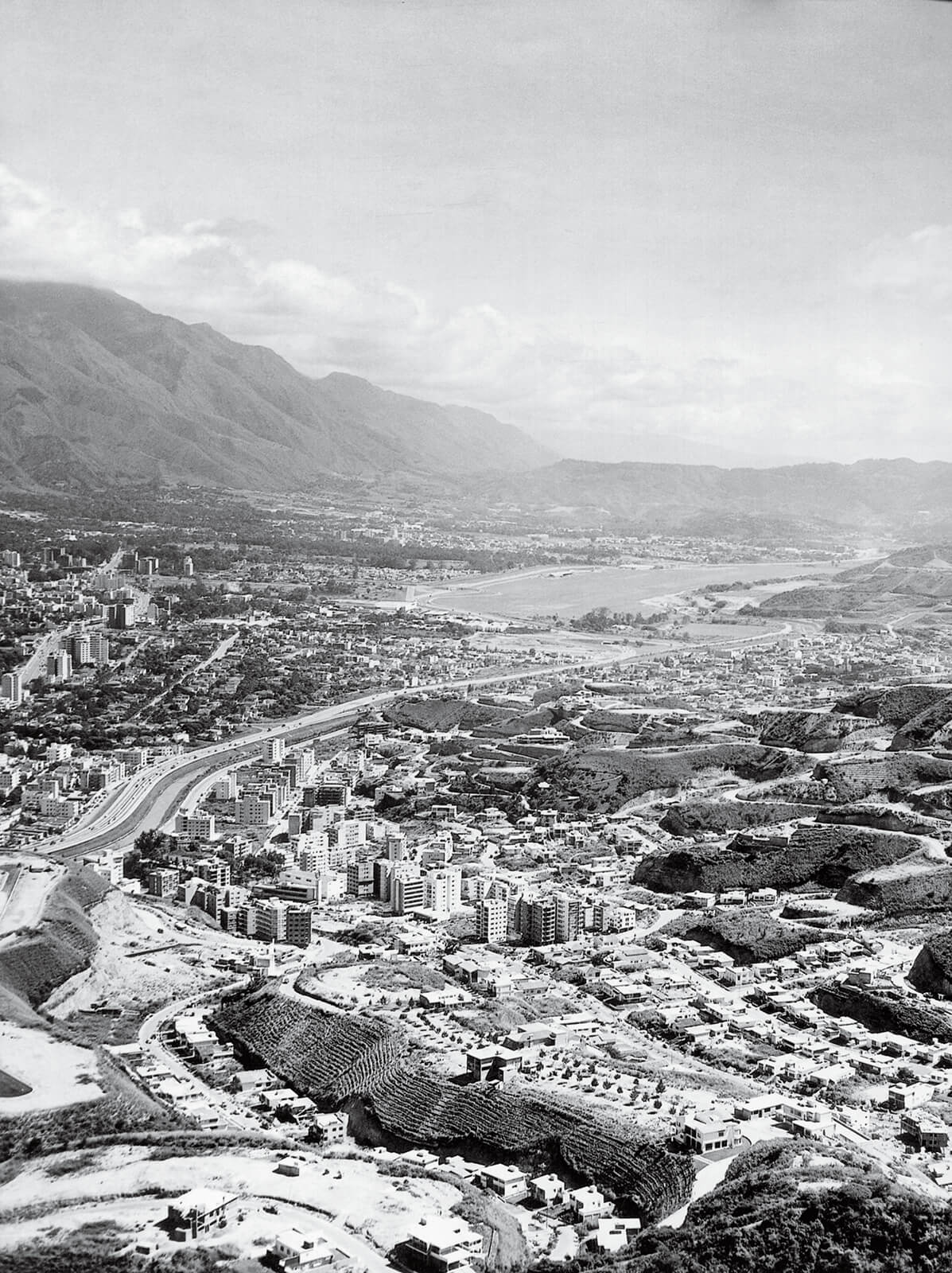
Vista aérea hacia el sureste de la ciudad de Ccs:, en los años 60. FFU
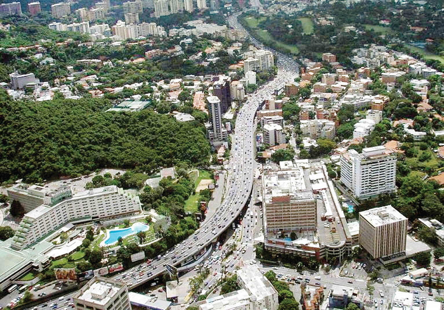
Vista aérea autopista hacia el sur este de Caracas. SG-01
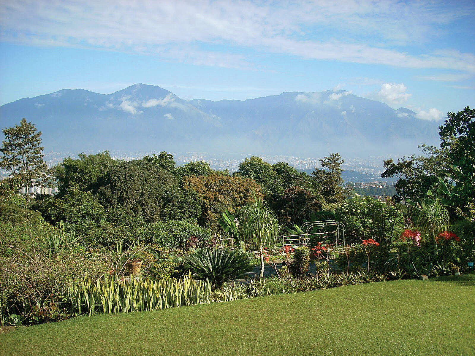
Jardines Topotepuy, el refugio de colibríes (tucusitos) y aves de Carcasa. El Volcán. IC
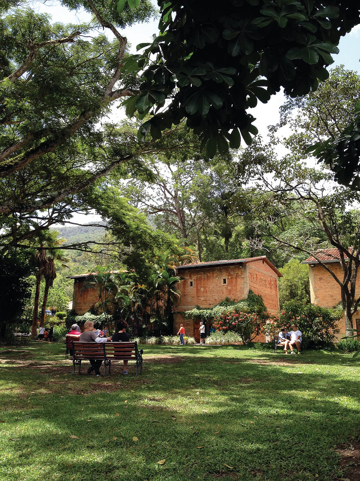
Centro cultural, antiguos secaderos de tabaco, La Trinidad. IGV
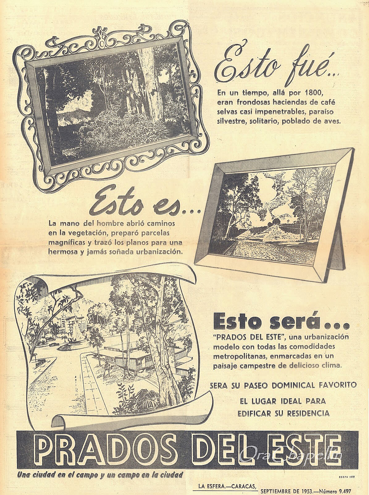
Anuncio publicitario de Prados del Este SG-02
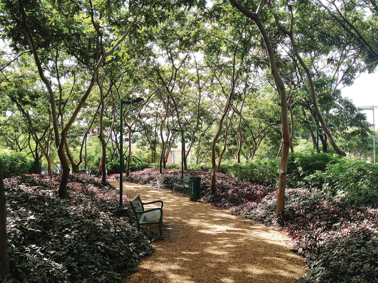
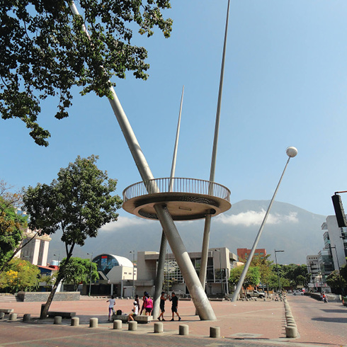
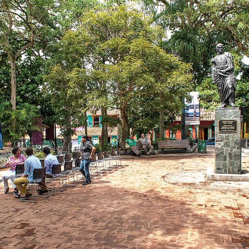
Plaza Alredo Sadel, Las Mercedes. IGV
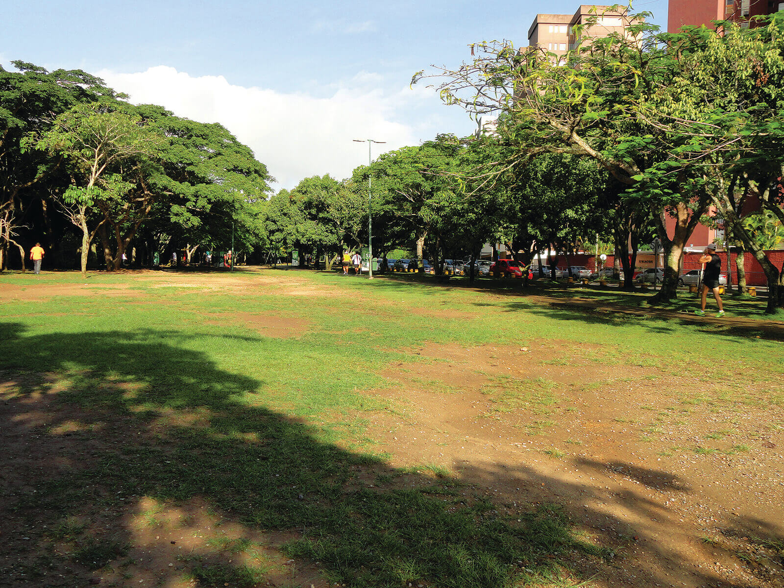
Parque Vizcaya a lo largo de la quebrada La Guairita. IGV
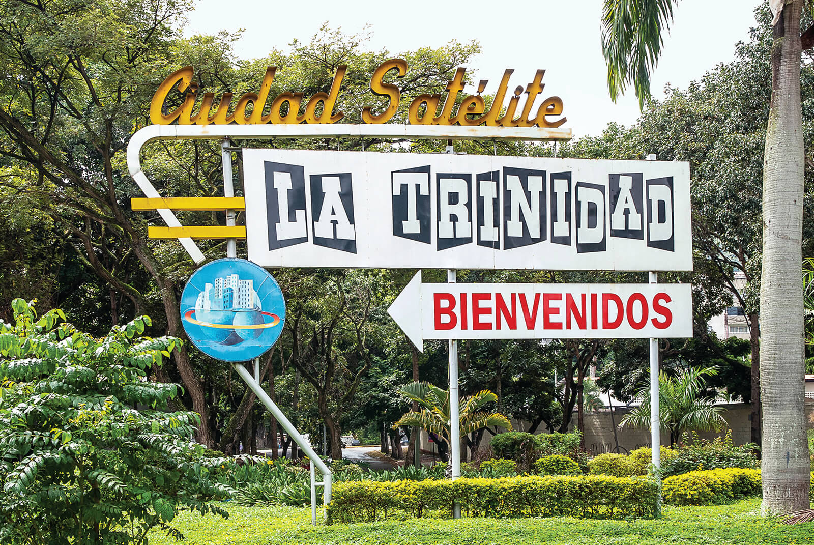
Letrero de la ciudad satéite La Trinidad. JAC
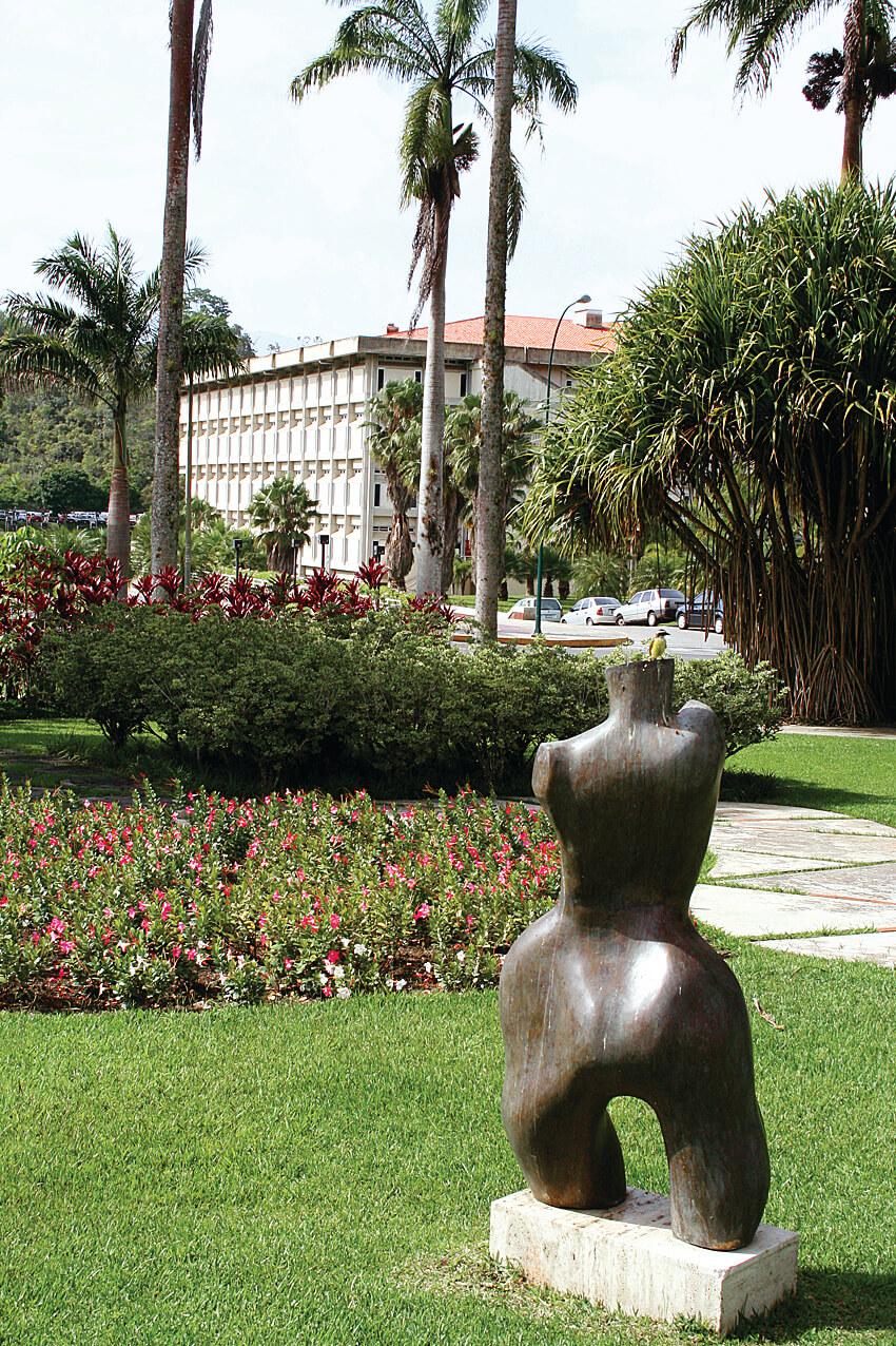
Jardines de la Universidad Simón Bolívar, Eduardo Robles Piquer. USB-IC
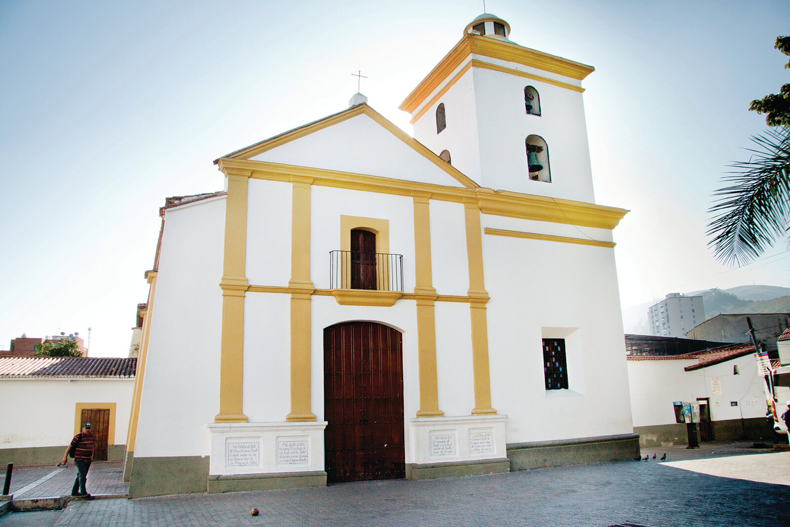
Iglesia Nuestra Señora del Rosario de Baruta; la más antigua de la ciudad. YPM
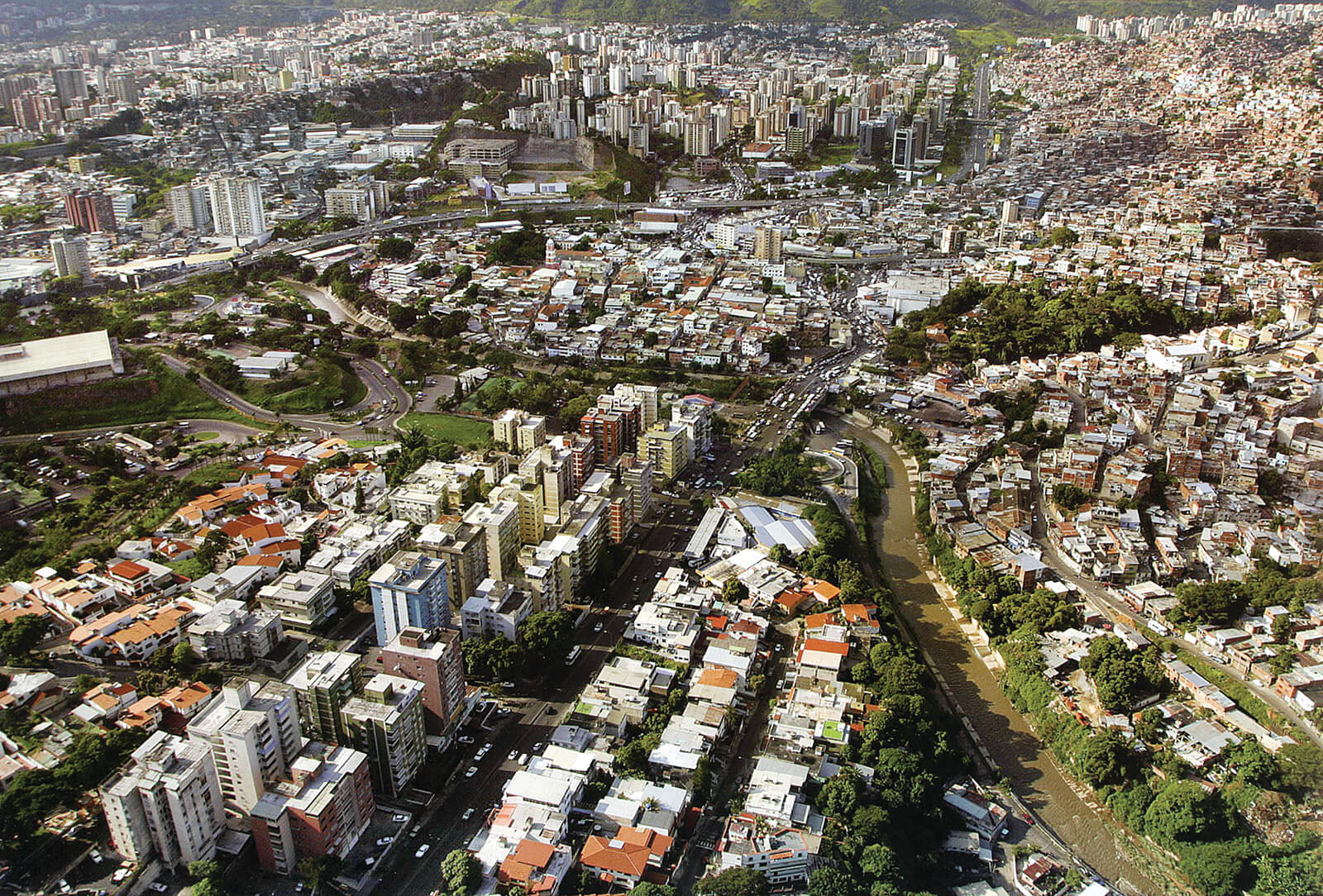
Vista aérea del río Guaire en su cruce al extremo este del valle de Ccs. La California, pueblo de Petare, Petare Norte y Sur. FFU
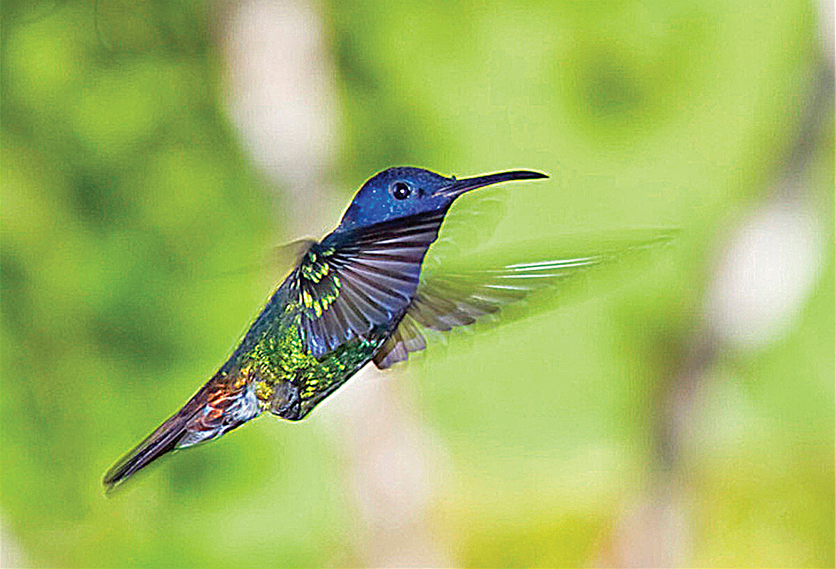
El colibrí más popular o tuquisito de Caracas. SG-03
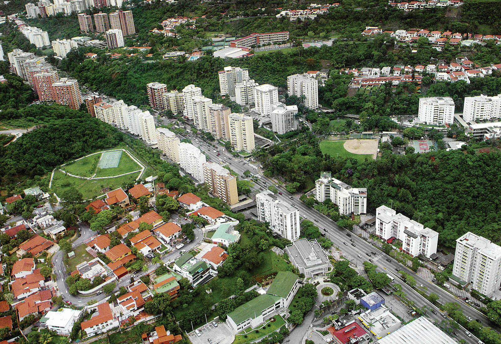
Vista aérea del Bulevar El Cafetal desde Caurimare. FFU
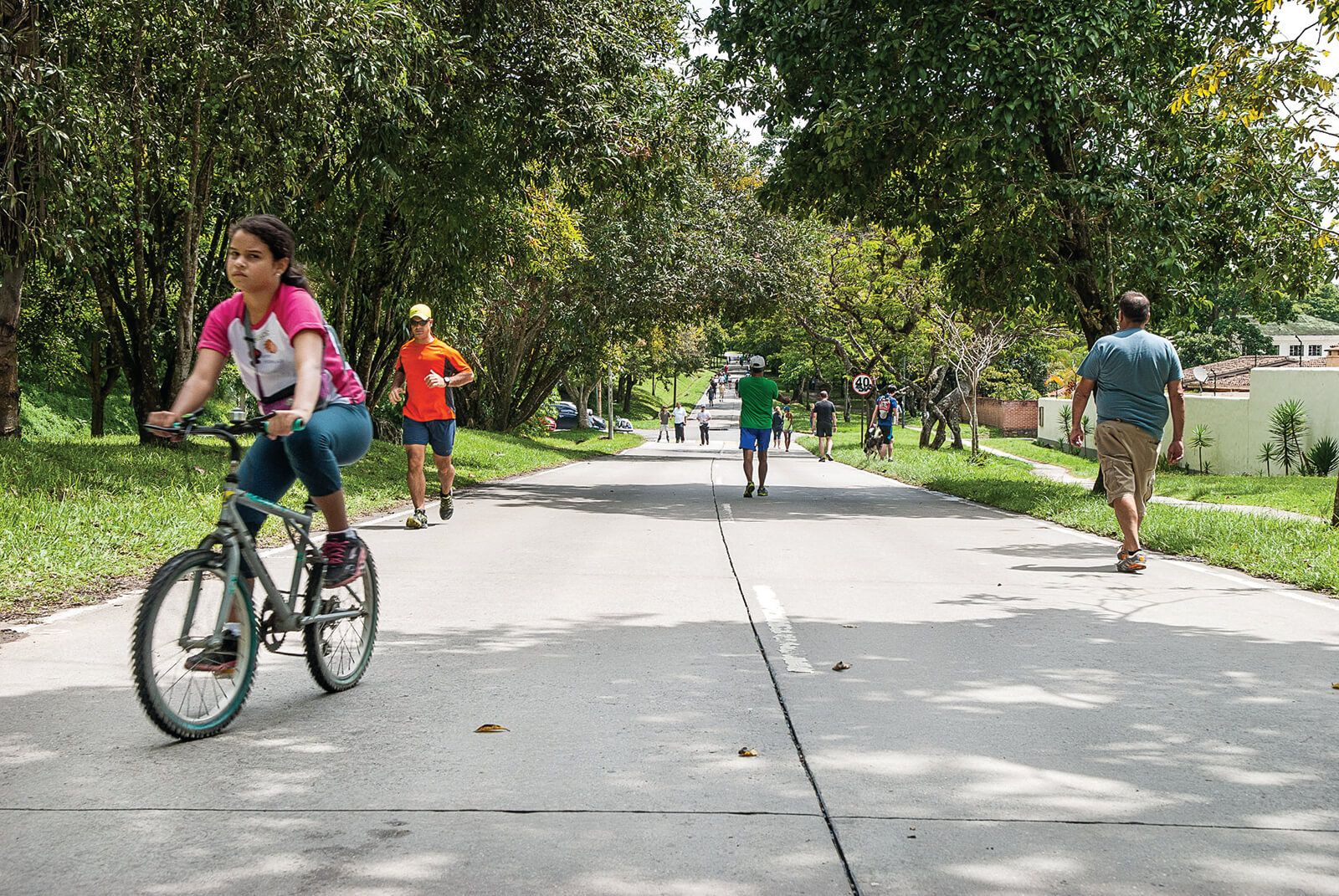
Avenida principal de La Lagunita con paisajismo de Burle Marx. JAC
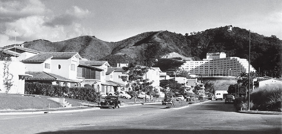
Avenida principal de Las Mercedes, casas vascas y Hotel Tamanaco al fondo. FFU


